


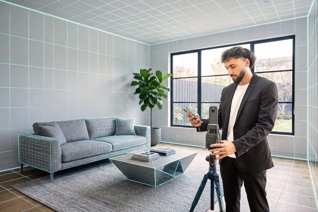
In today’s competitive real estate market, static photos are no longer enough. Buyers expect dynamic, engaging content that brings properties to life. Enter Reptov, a powerful new platform that transforms ordinary listing photos into professional marke ...

As an Amazon Associate we earn from qualifying purchases.
 Leroy in Alberta asked:
I started focusing on real estate
photography this year and your site has been a very valuable resource! When I Googled this subject, I saw that some people referring to Google Earth Pro users being able to use images commercially, but sifting through the opinions on the online world to get to the facts is the key.
Yes, if you look at the permissions guidelines for Google Maps and Google Earth, they just don't want you to remove the attribution on the images. Specifically, they say, "All uses of the content must provide attribution to both Google and my data providers. I require clear, visible attribution when the content is shown..."
Using Google Earth fly-ins used to be a popular intro on a property video. However, many of the top Realtors who used Google Earth fly-ins and the top real estate videographers have changed to drone certified intro footage and if done well, it comes off much more elegant and realistic.


I knew you would have the answer to this. You are very well informed blogger. Three years ago I viewed an RTV video using google earth pro. I knew about using model helicopters to take real estate images by watching Tip Wiese of Air Cam Photography. So I knew the agents liked the aerial views. I taught myself how to do an aerial flyin and did my research for copyrights. They had page after page of very legal documents. Then I came across that one sentence “All uses of the content must provide attribution to both Google and our data providers. We require clear, visible attribution when the content is shown..." Bingo I was in business of providing aerial fly ins on all virtual tours. Drones have taken away the need for these now. A few agents still like them so I do it upon request and yes for free. It takes 5 minutes or less to do them so I am not paying anything to provide Good Customer Service. Drones cannot do the distances and heights that an Aerial Flyin Does. You can fly from Carmel to Carmel Valley Village in a few seconds then pin point a home high up in the Cachagua Grade and fly down to their front door.
Glad to know that it's A OK to use the fly-in.
Hello - just a heads up, Google Earth images are not allowed to be used for commercial use, per the link you included. This may have been an update since you posted.
"You may not use Google Earth imagery on the web for any commercial or promotional purposes, such as, but not limited to: Real estate listings or company profiles..."